drunken investigations into water
By loading the map, you agree to Google's privacy policy.
Learn more
This post is about a 10km walk from Fall to Feldkirchen. I look around in Goldwörth, a village that was flooded by the Danube in 2013.
It was raining in the morning, which felt nice because I woke up dry and comfortable under the overhanging roof of a building on the campground. I looked at the rain, decided to wait it out, and turned around.
another Danube flood
When the sky cleared up about two hours later, I started packing my stuff and got going.
There was a hydro power plant about 2 km down the road. It was a dam spanning the width of the Danube, and on top of it, there was a narrow road for cyclists and pedestrians. I walked about half way to the other side, then I stopped and looked around. It was difficult to imagine what it must have looked like in 2013, when the Danube washed over the dam and around it, when the fields and the trees were all under water.
It was also hard to imagine that this was the same river that I had crossed on my way from Serbia to Romania more than a year before.
a town that drowned?
I came through mosquito-infested woods, then the trees gave way to fields and I noticed a church tower in the distance. It was the church of Goldwörth.
I had come here specifically in order to see this village. Remember how my friend Andreas showed me Hütting, the village that got torn down and moved to another location after the flood of 2002? Well, in 2013, another flood had hit Goldwörth, and it had led to some pretty disturbing accusations that were being passed around. Did Goldwörth really get sacrificed in order to save the heavy industry in the east of Linz?
Goldwörth
The first thing I saw of Goldwörth was a sporting ground and a fire brigade, then some houses with gardens, and then I found myself on a square in front of the church. There was a fountain and a café.
Three men were sitting outside of the café. I asked them what they were drinking and got myself the same. It was a Schorle, something people in Austria called G’spritzter, wine mixed with sparkling water. I felt it go to my head immediately.
what happened in 2013
The men told me about the flood of 2013 and how the area around the church had been only mildly affected. It sat at the highest point of the village. “Can you see the incline?” they asked me. I couldn’t.
None of them had been affected in a terrible way at the time. Their basements had been flooded, yes. Some even had minor flooding on the ground floor. But the insurance companies had paid up, and life had gone back to normal fairly quickly.
“This is a good place to live,” they said.
They, too, believed that the waters had been allowed into their village in order to protect Linz.
more drinking
A little while later I was still at the square, hiding from a rain cloud under the overhanging roof of a kindergarten, when suddenly a man came walking into my direction. He handed me a cold Radler and told me that his name was Mario and that he liked whatever it was that I was doing.
And yet again a little while later, while I was still trying to walk from Fall to Feldkirchen, I suddenly found myself sitting at a table in a farmhouse having more alcohol. This time it was brandy made of pines, fruits, and berries. I had seen a sign saying DISTILLERY at the door and asked the owner if they happened to make vodka.
“No,” the owner had said, “but come in!”
pictures
the walk from Fall to Feldkirchen:
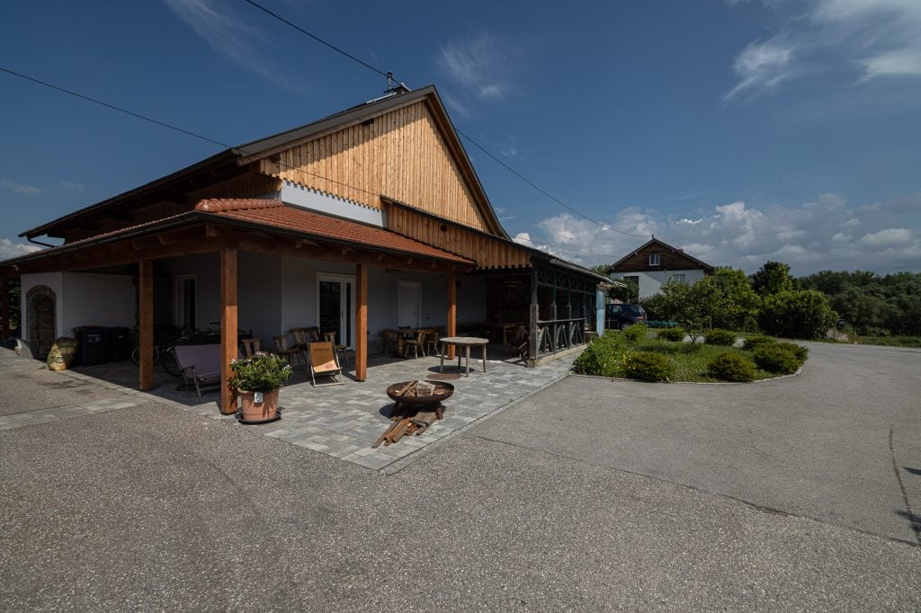
the common building on the Fall campground
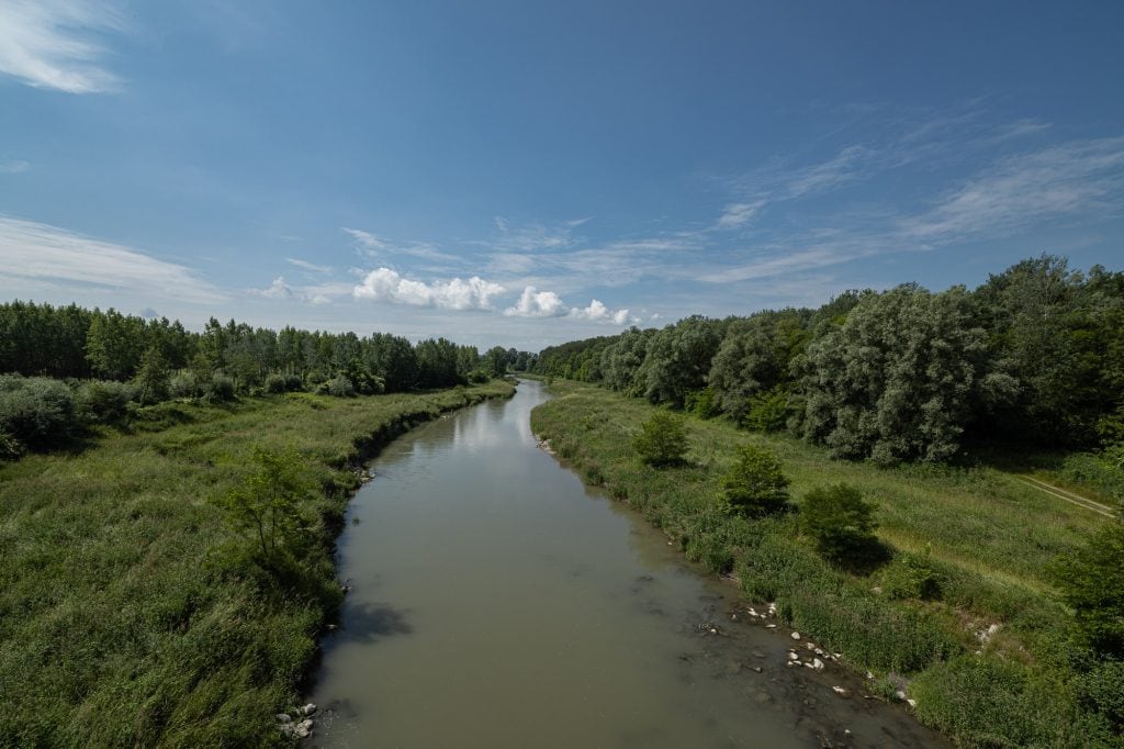
a side arm of the Danube
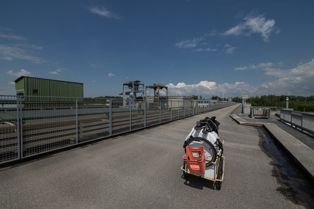
the Caboose on the Ottensheim-Wilhering power plant
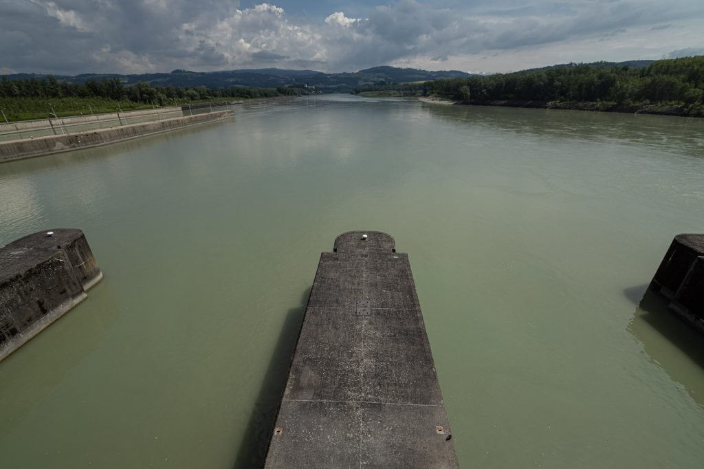
the Danube at Ottensheim-Wilhering
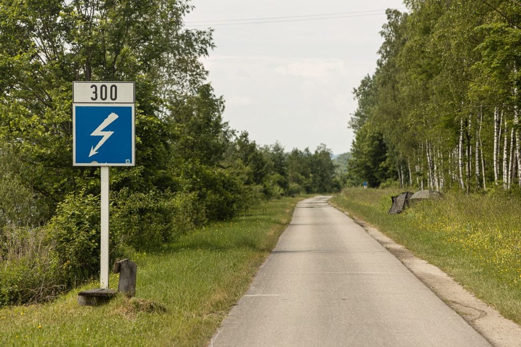
bike path to Goldwörth
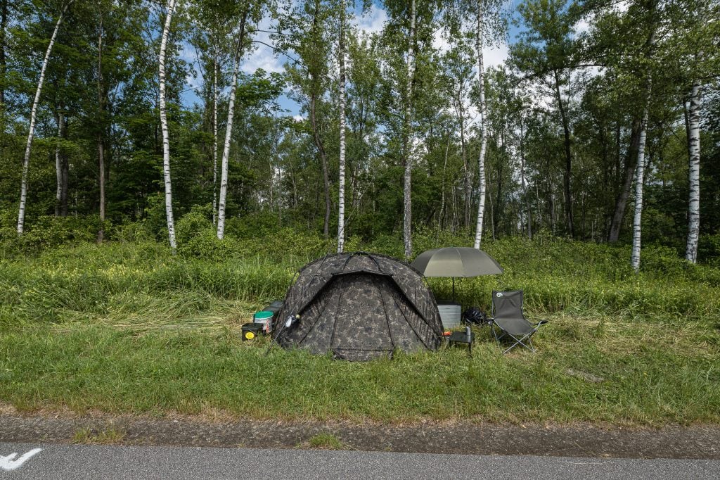
Danube fishing tent
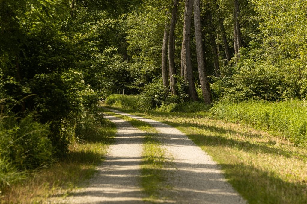
the way through the woods
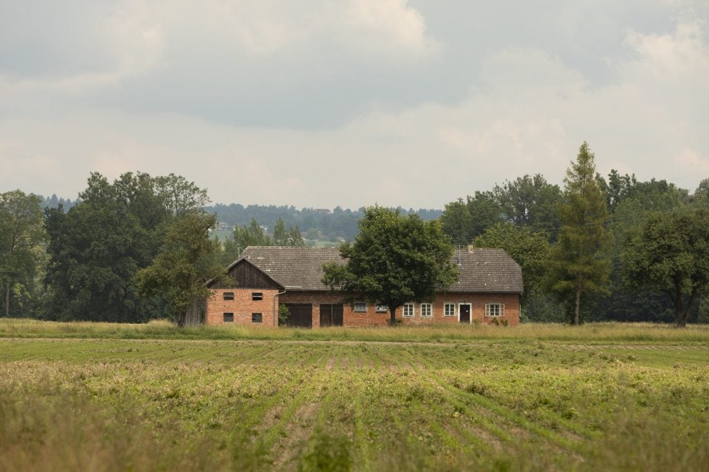
farm house near Goldwörth
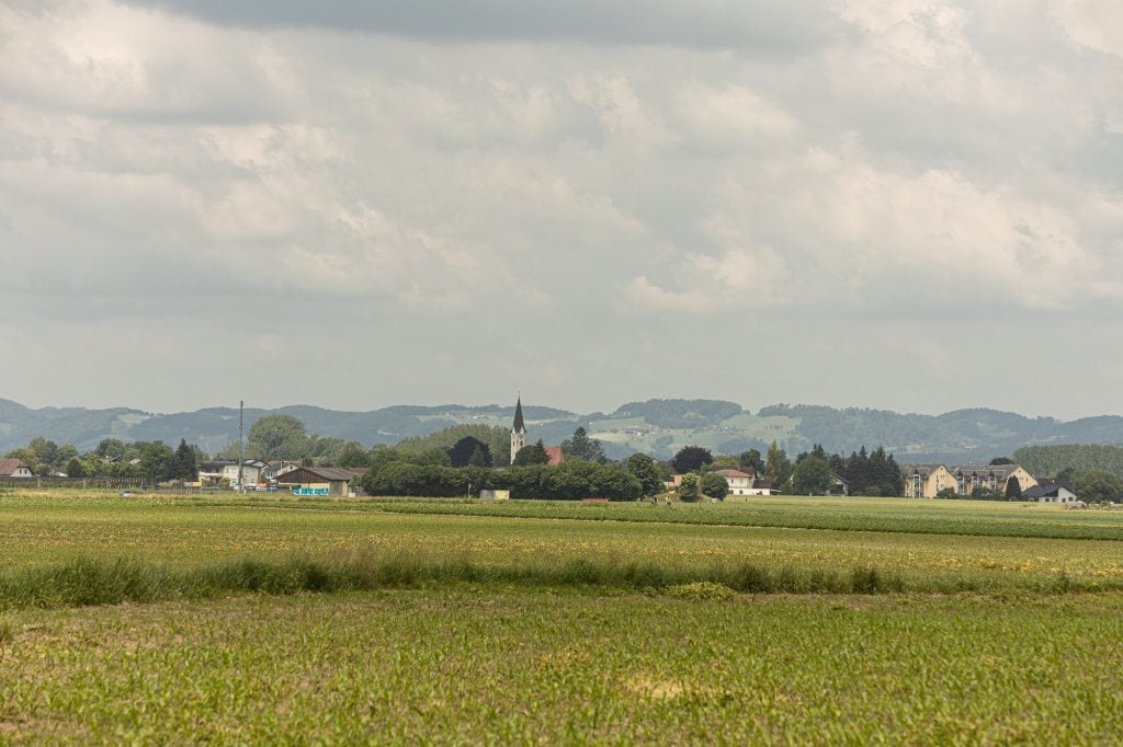
Foldwörth from a distance
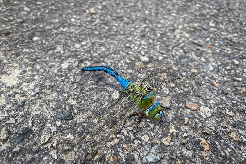
dragonfly
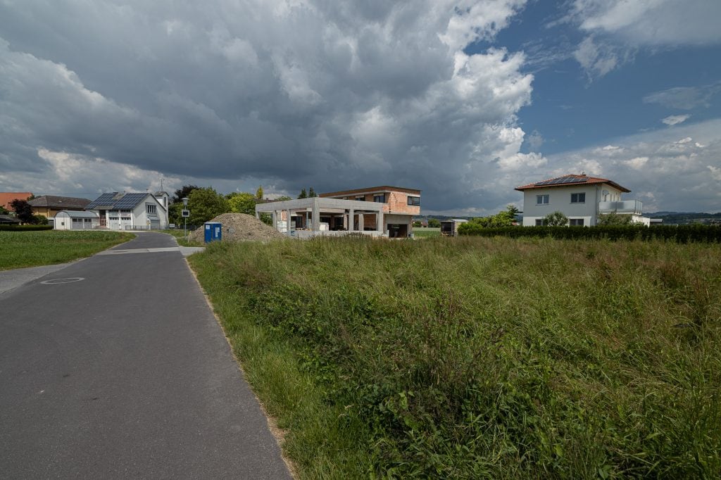
construction site in Goldwörth
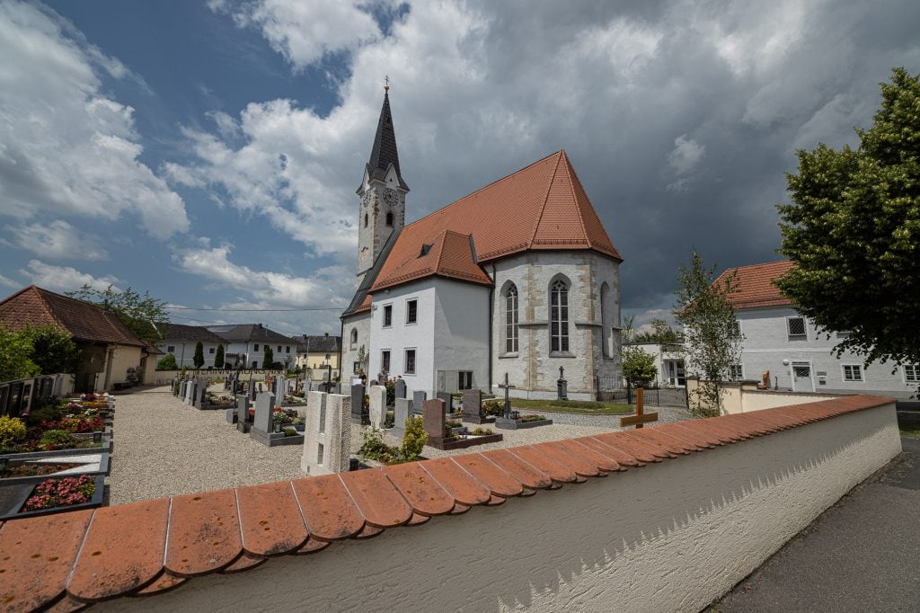
Goldwörth church
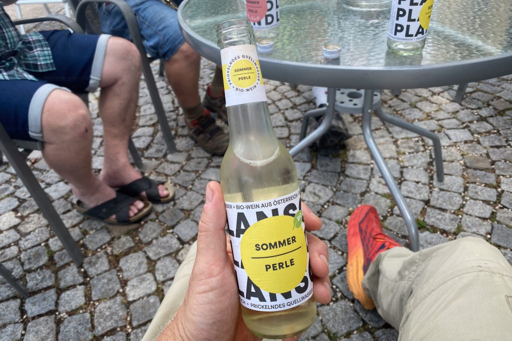
G’spritzter
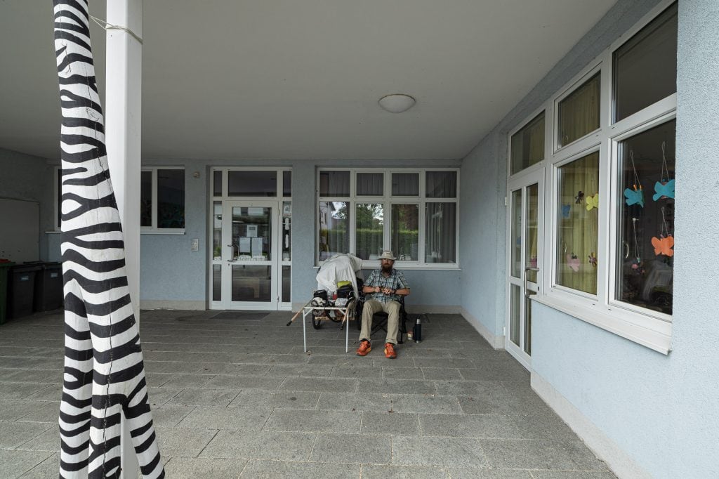
I sit in front of a kindergarten on a holiday.
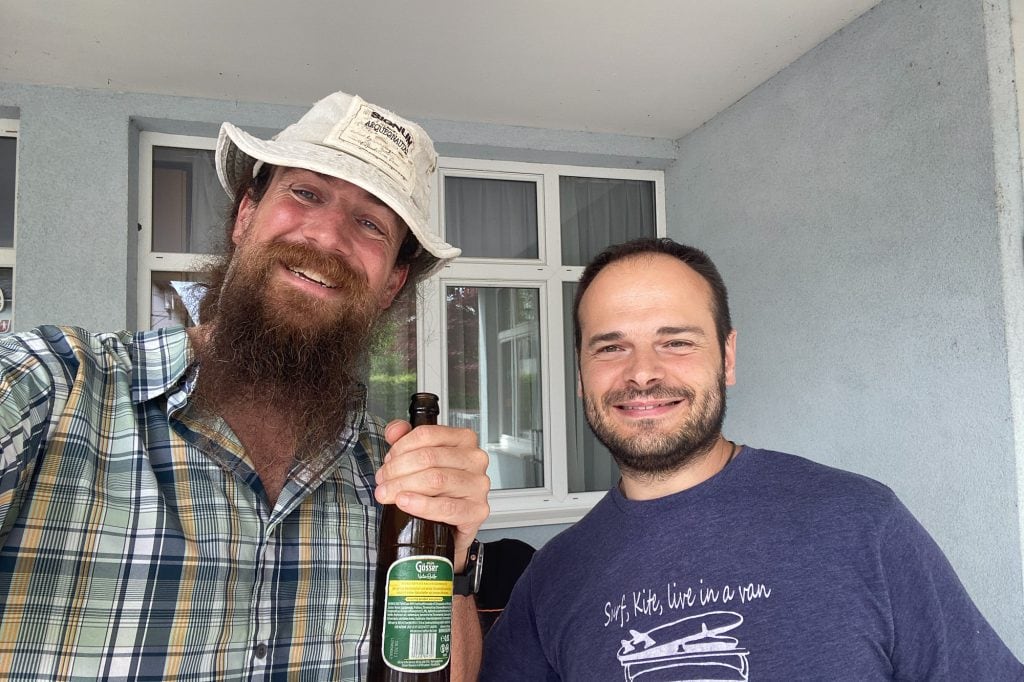
Mario and the Radler
snack from Mario
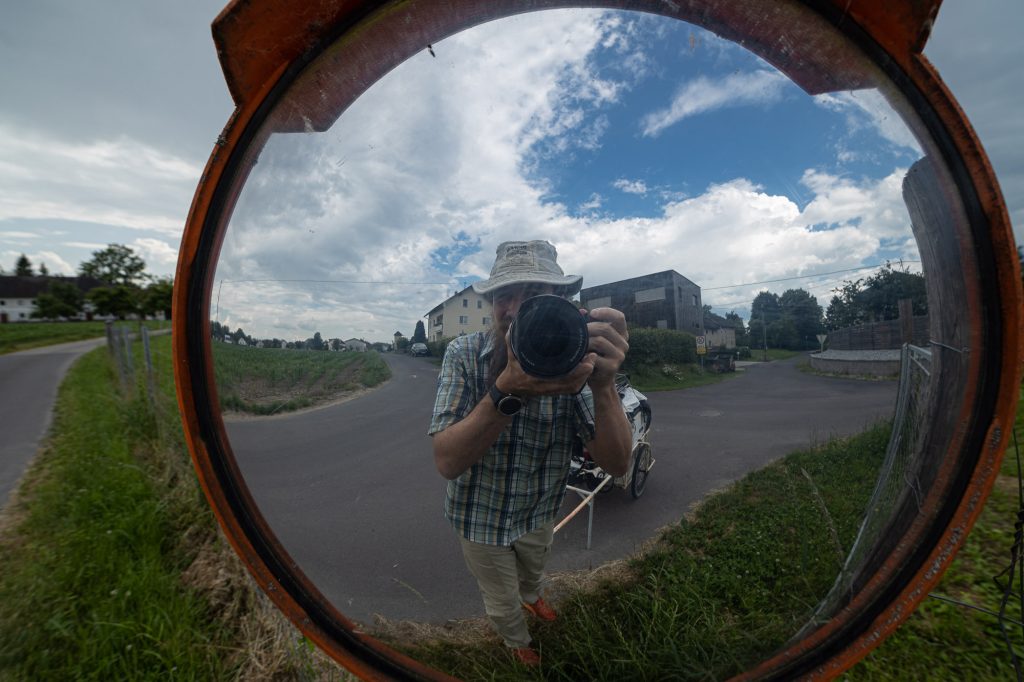
self portrait in Goldwörth
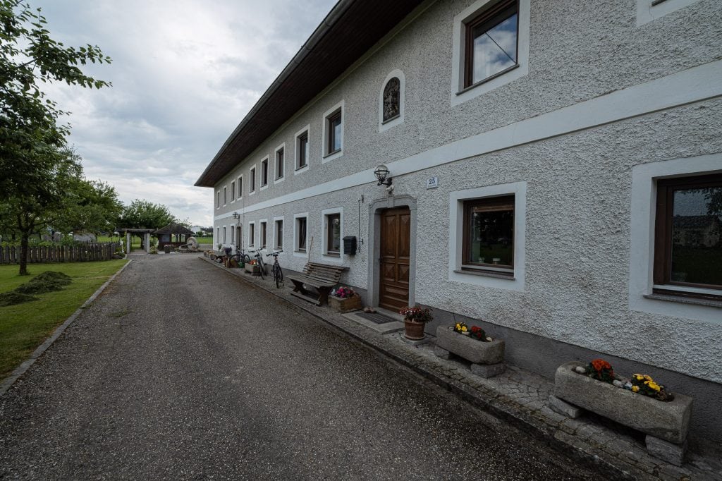
Wolfgang’s farm house
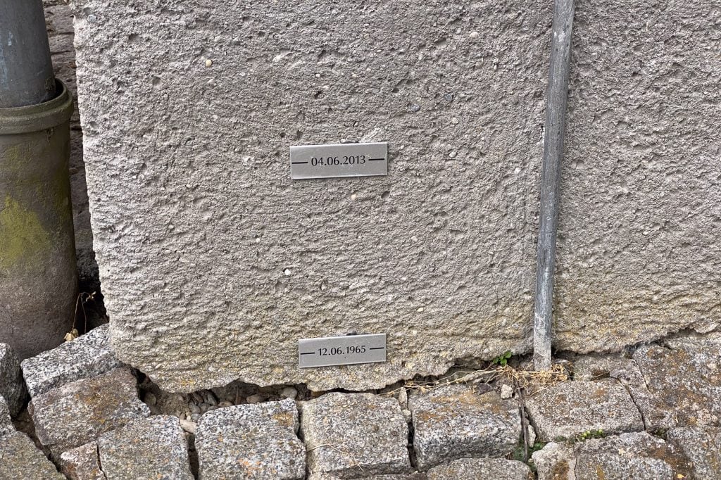
historical flood levels
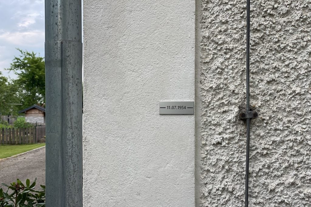
the flood level of 1954
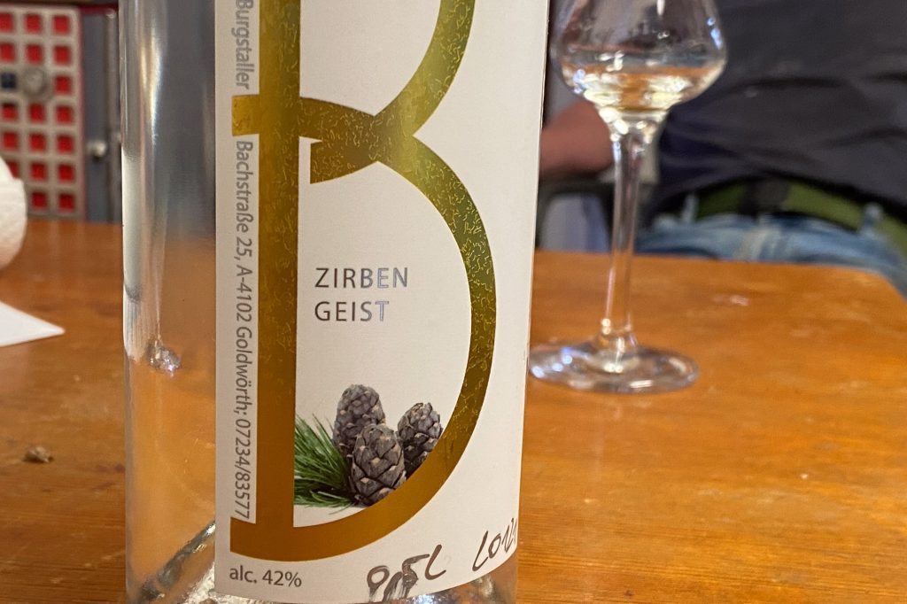
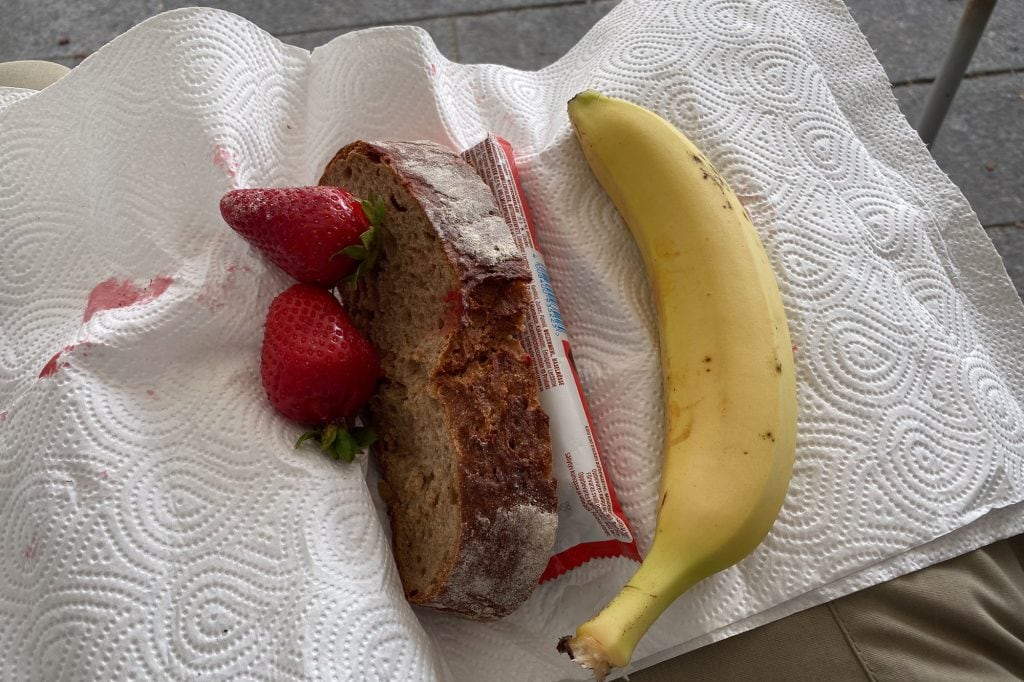
pine brandy
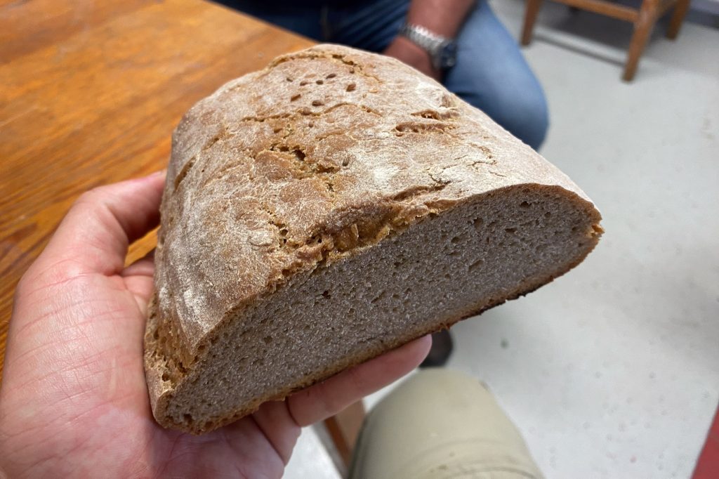
home-made bread
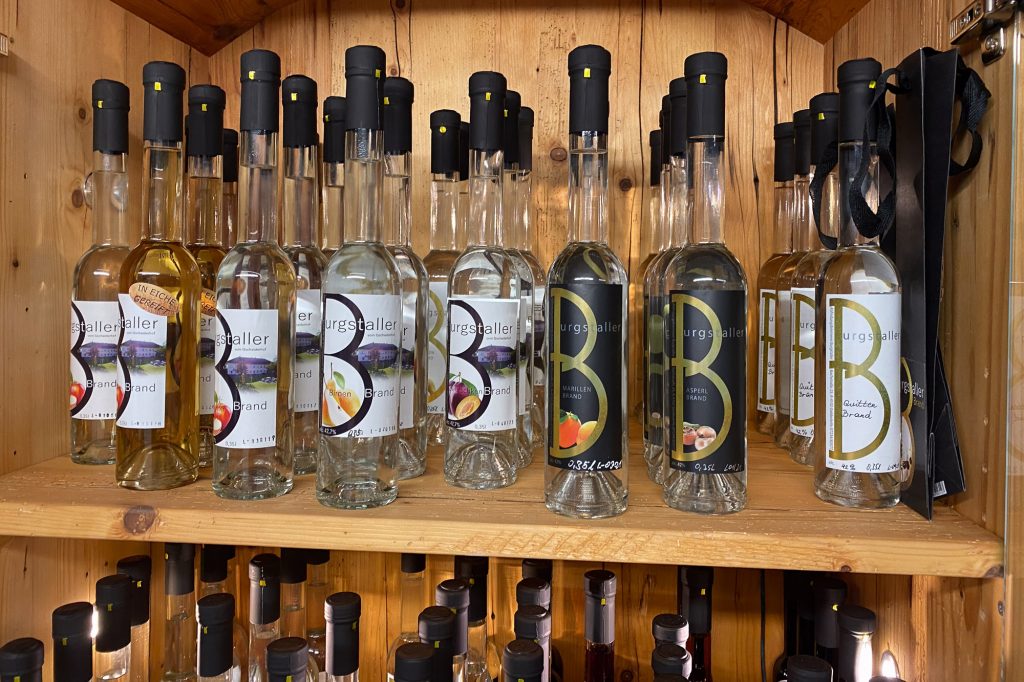
Burgstaller brandy
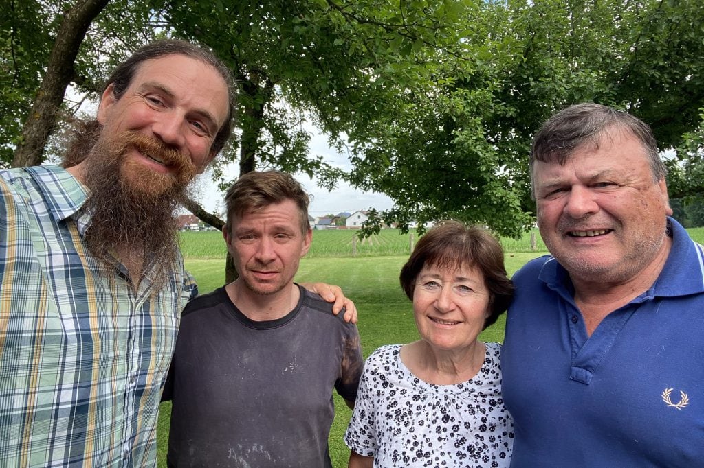
with the Burgstallers
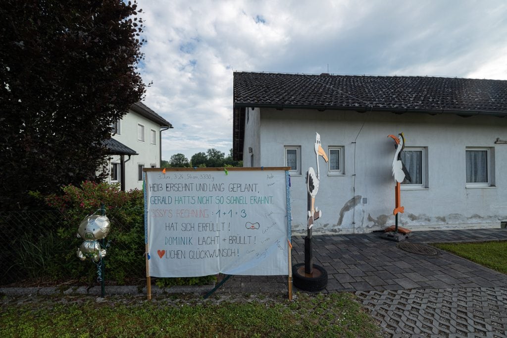
people celebrating a new child
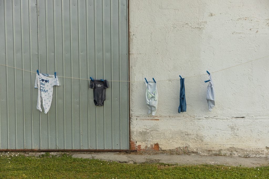
rompers
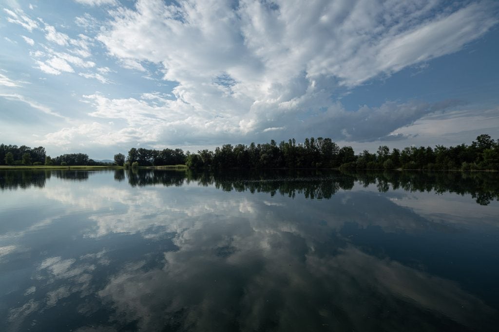
lake near Feldkirchen
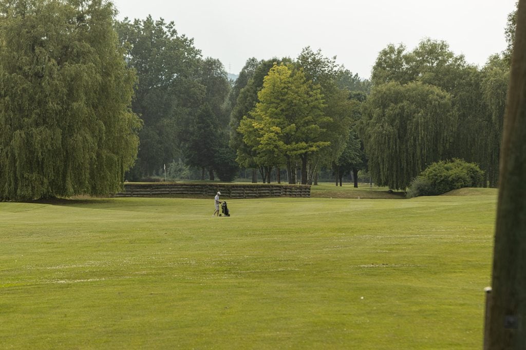
why golf?
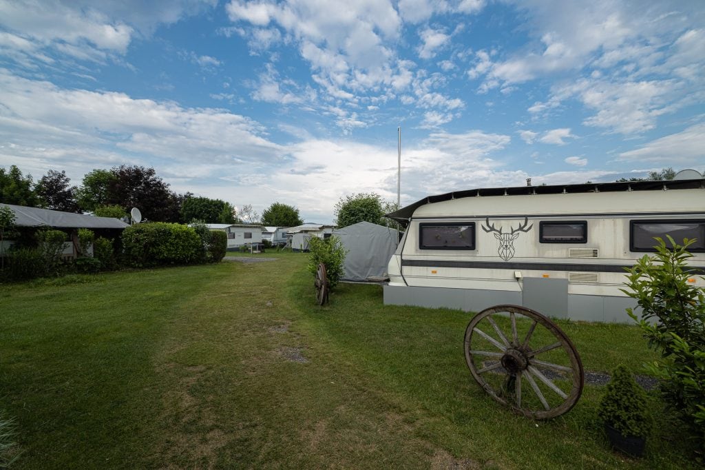
Feldkirchen campground
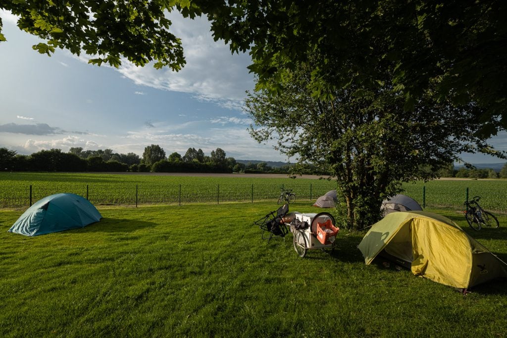
my tent
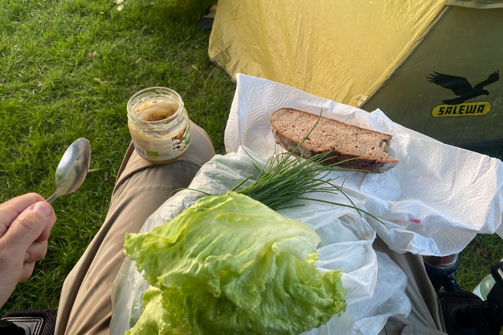
dinner
Franz Fuchs-Eisner
Hello Christoph, I was watching online your longest way from the beginning from Beijing on for some time while you were crossing China on foot. I myself was there in Beijing for several months during 2008 and 2009. I am sorry that you had to walk inside China and could not make your dream come true to cross the borders. In the meanwhile I was wondering where you might be on this planet and these days July 2023 I came to know from my sister that you are still walking around long ways on foot. What a surprise to hear about you and there you were in Goldwörth on the Danube stepping rigth to the front door of my sisters and her family farm. They do have a road sign to their Destillery.
You did not pass by in the town Ottensheim near the power plant you crossed over, there is a house next to the car ferry boat where flooding water levels are marked up to the second floor. Little higher than in July 1954 was the level in February 1862. The level during June 2013 was more than 1 m lower than these. The highes level marked there was 2 m higher than in 1954 and it happened in August 1501. By the way, very interesting water level marks you also see in Passau near the river Inn where it is floating into the Danube.
Please take care of your health and think about for how many Kilometer a mans skellet is being built. Good Luck for your long way and save some Energy for years to come.
Jared Kelsey
That homemade bread looks delicious.