hello from the other side
By loading the map, you agree to Google's privacy policy.
Learn more
This post is about a visit to the Iron Gates Region Museum. I see a model of Trajan’s Bridge, and I have a conversation about Ceaușescu.
It seemed as though the question of how to cross the Carpathian mountains was going to be a tough one. I had started asking random people what road to take: the receptionist at the hotel, an old man I ran into in a store, the guy who sold me the ticket to a museum.
the museum
The Iron Gates Region Museum turned out to be pretty big. It was housed in a building next to the ruins of the ancient Roman fortifications of Drobeta. It was also next to the other remaining pillar of Trajan’s Bridge. I felt a bit odd standing on this side of the river, looking back at the exact point where I had been standing just a few days earlier.
When I went into the museum I found that most of the exhibits were about the history of the region: coins, weapons, clay vessels, those sorts of things. But there was also a huge model of Trajan’s Bridge in a special room. It put the incredible effort of the Romans into perspective. The original bridge was more than a kilometer long, and it had been built when the Danube was much less tame than it was now. Each end was crowned by a massive arch.
It was awesome.
fish and dictators
I was surprised to find out that the museum also housed an aquarium. There were no jellyfish (much to my regret), but a bunch of local fish, especially sturgeons. Then there was a geological exhibition with a bunch of rocks and a fake cave. And after that there were some showcases of the local fauna, complete with plants and stuffed animals.
The thing that struck me the most, though, was a conversation I had with one of the guards in the museum. She was about my age, and she has also studied history. She told me a bit about the time under Ceaușescu, about the revolution of 1989, and about the difficulties of the 1990s.
It seemed as though Romania had come along way since then.
pictures
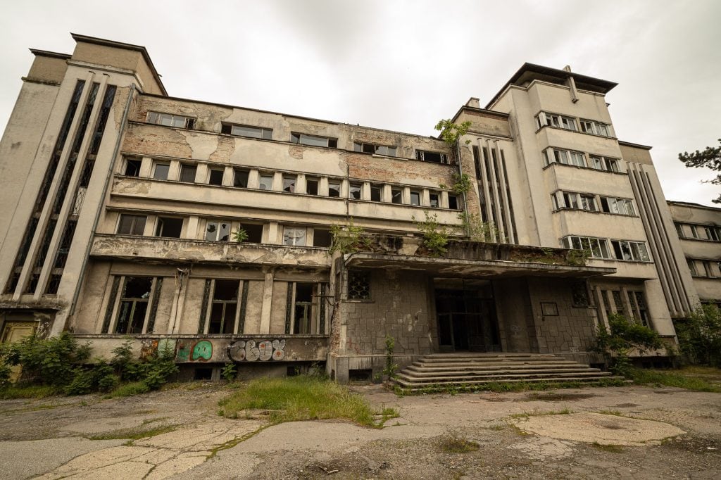
abandoned building in Drobeta-Turnu Severin
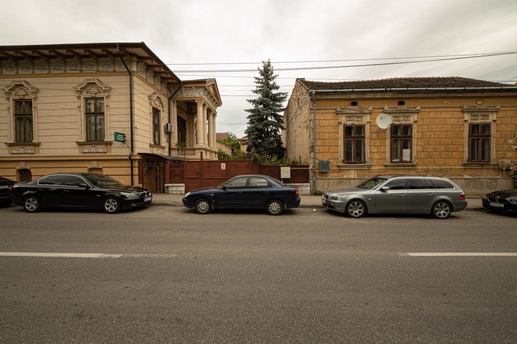
old buildings
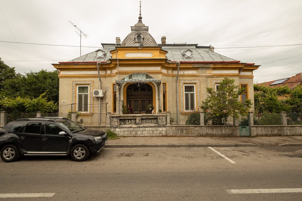
I found this house interesting
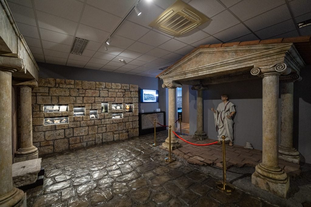
inside the Iron Gates Region Museum
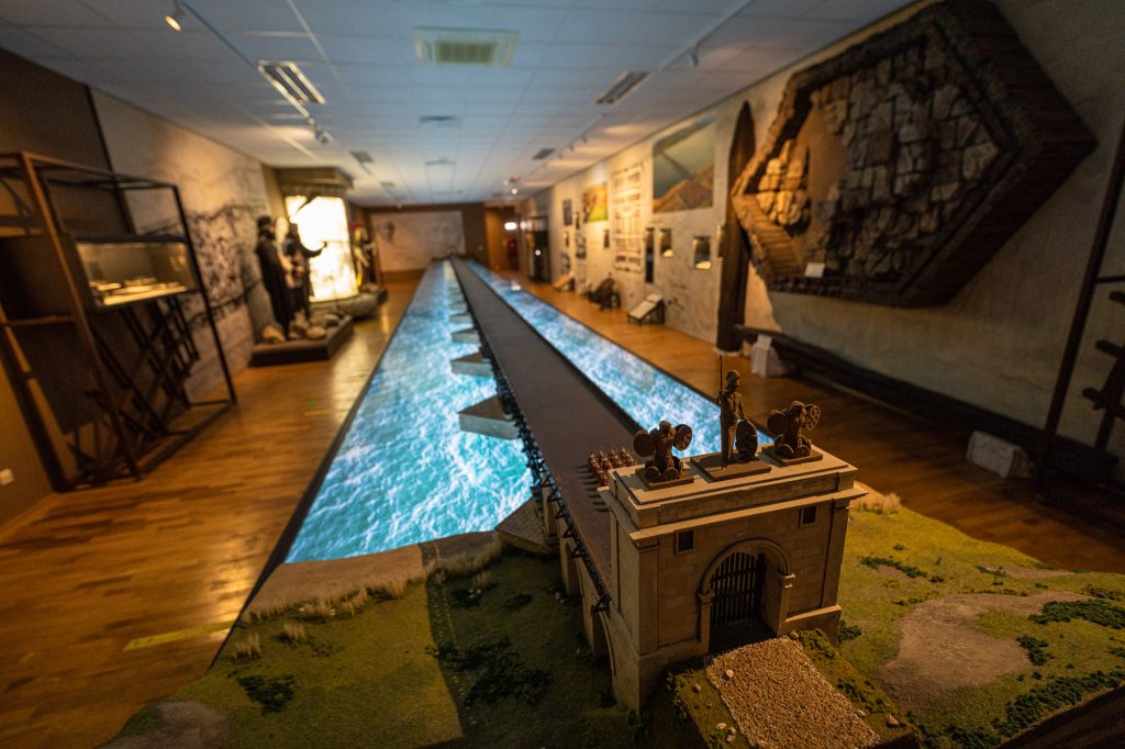
model of Trajan’s Bridge
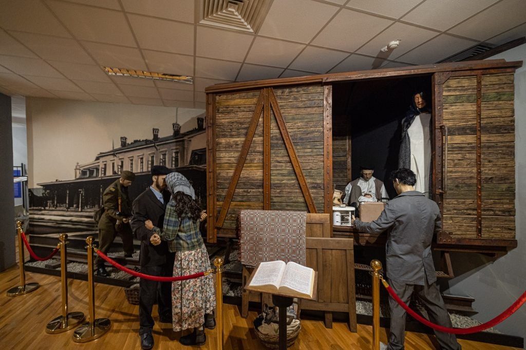
exhibit of Socialist Romania
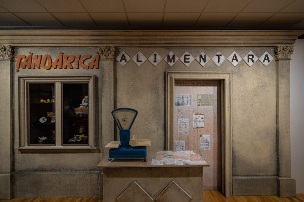
exhibit of a shop in Socialist Romania
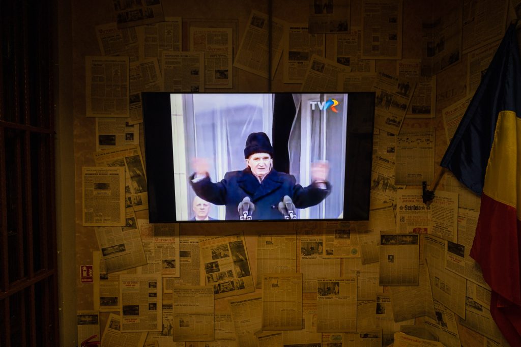
Nicolae Ceaușescu’s last speech
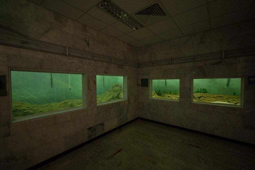
fish tanks in the Iron Gates Museum
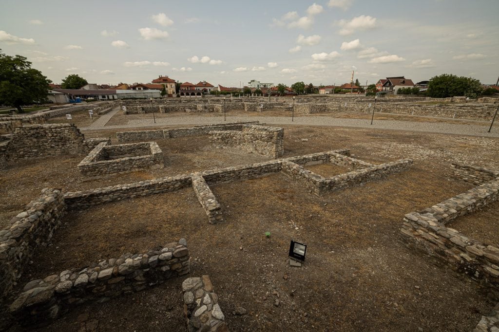
archaeological dig of Roman Drobeta
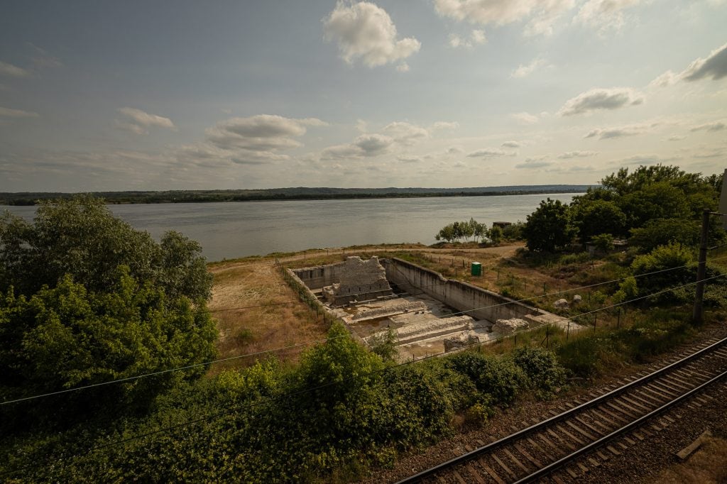
Trajan’s Bridge in Drobeta
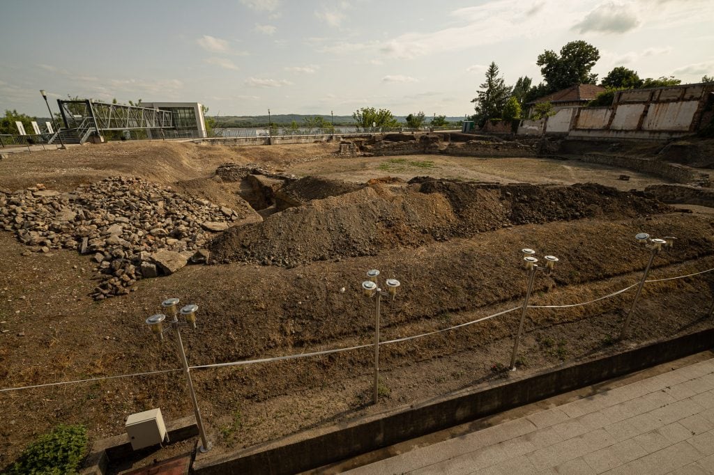
archaeological dig
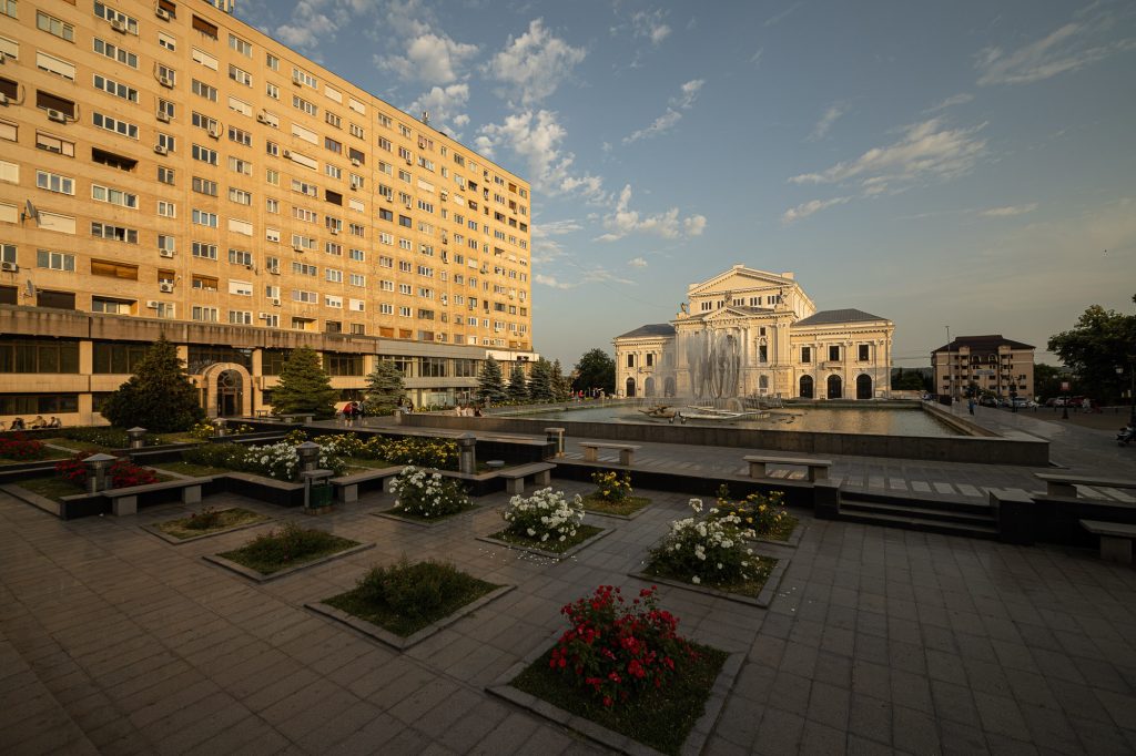
downtown Drobeta-Turnu Severin
Emil
If you look at Kladovo from above in Google maps, you can see that the Romans dug a bend around it in order to be able to build the bridge on “dry” land. When they finished it they let the water back into its old stream. Even today, almost 2000 years later, you will see that the land around Kladovo is lower and partly filled with water.