fall of the leaves
By loading the map, you agree to Google's privacy policy.
Learn more
This post is about an 18km walk from Biesheim to Marckolsheim. I pass a Jewish cemetery and the border between Upper and Lower Alsace.
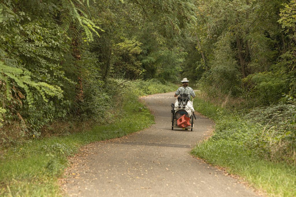
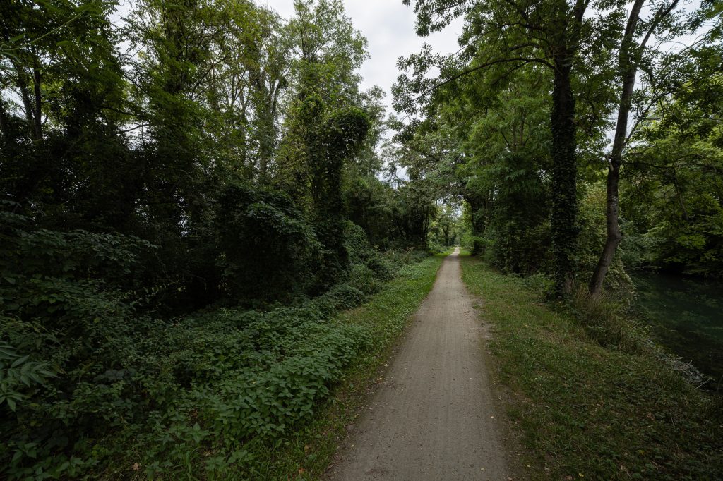
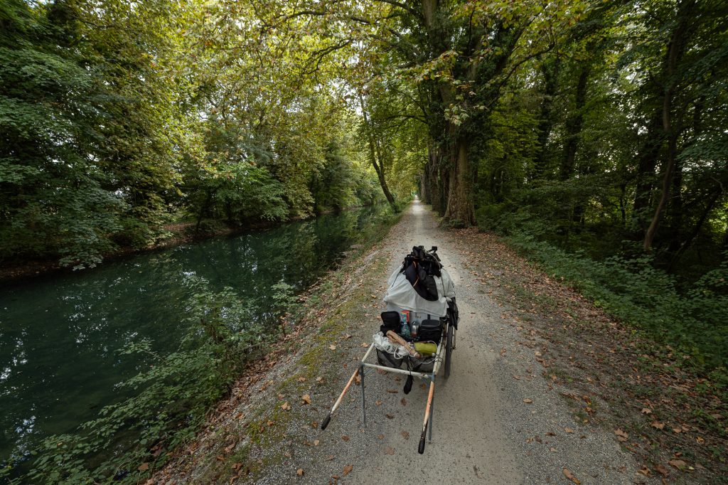
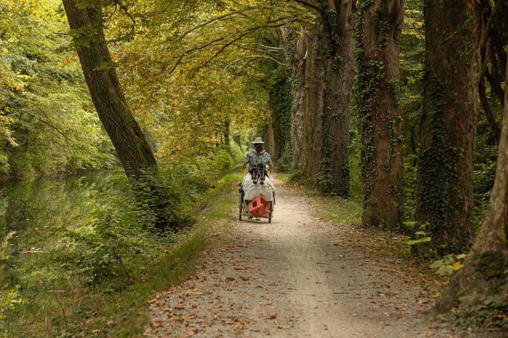
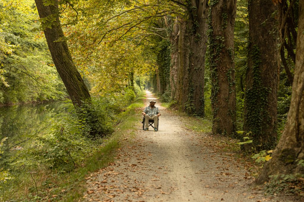
Biesheim was quiet when I left. I saw a woman in a car and a man on a bicycle, and then I found myself on the EuroVelo 15. I loved it. Ever since that first encounter with the EuroVelo 6 in Serbia two years earlier, I had grown deeply fond of these European bicycle paths.
No cars, no trucks, no buses. Just blissful, easy walking.
canals and mountains
The bike path followed the Rhône–Rhine Canal, though it seemed confusing to me what that was supposed to mean. Why was it going in a south-north direction if the river Rhône was actually far to the west of here, behind the Vosges mountain range that I could see to my left?
I decided not to worry about it. The canal and the mountains were both beautiful, and the cycle path was quiet.
Yiddish names
One time I passed a Jewish cemetery. Many of the graves were old, but some were from the last few decades. Most of the names on them looked Yiddish or German.
It was good to see that this graveyard had somehow survived the tides of time. But why was it so far from the next settlement? I had read somewhere that Jewish customs required their cemeteries to be located outside of towns and villages, so that could be the reason. But historically, Christians had made it very difficult for Jewish communities to acquire land, and Jewish graves weren’t exactly welcome in Christian settlements.
So maybe it was due to historical anti-semitism?
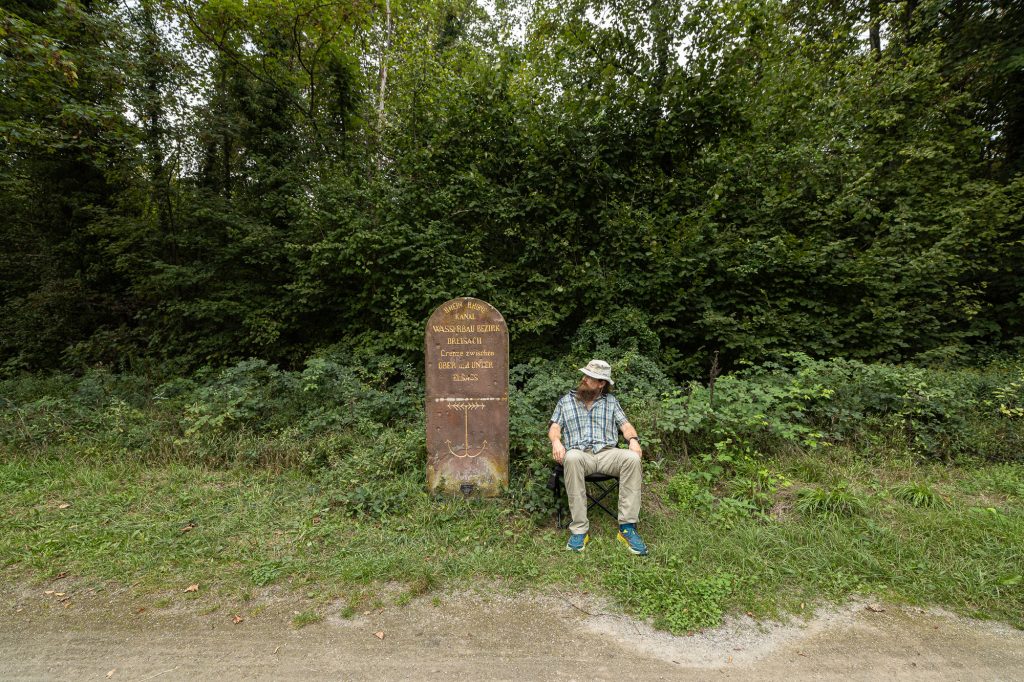
Framany
I was still wondering about the reason for the location of the Jewish graveyard when I reached a stone that marked the border between Upper and Lower Alsace.
Alsace was the French region that bordered Germany, and its ownership had changed back and forth between the two countries (or their predecessors) over the past few centuries.
generations
It came as no surprise that the stone was engraved in German.
RHINE-RHONE CANAL, it said, HYDRAULIC ENGINEERING DISTRICT BREISACH, BORDER BETWEEN UPPER AND LOWER ALSACE.
The engraving looked like it had been renewed or repainted fairly recently, but there was a date at the bottom that looked washed out and was hardly decipherable: 1863.
One hundred and sixty years, I thought, how many generations is that? Five or six, or maybe seven?
And then I walked through a beautiful fall of the leaves.
pictures
the walk from Biesheim to Marckolsheim:
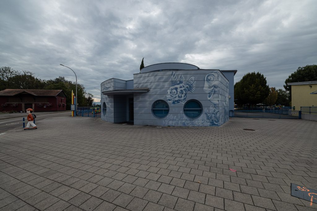
Biesheim
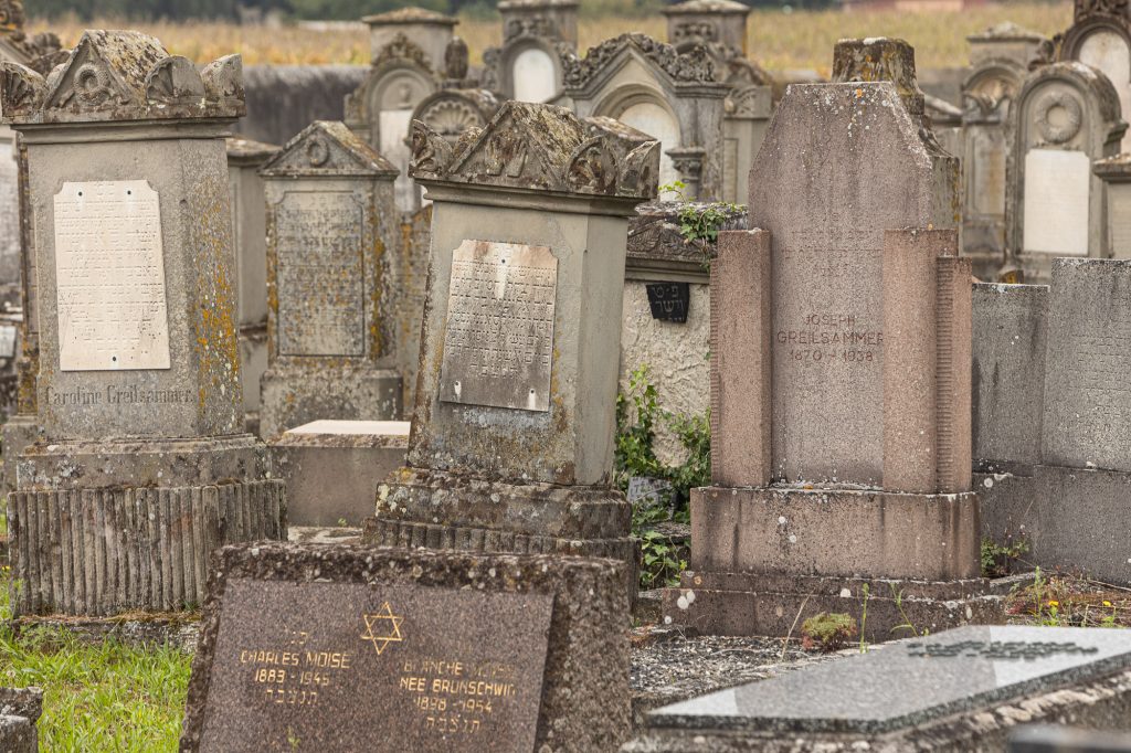
Jewish cemetery near Biesheim
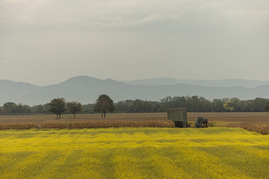
the Vosges
The Longest Way in France
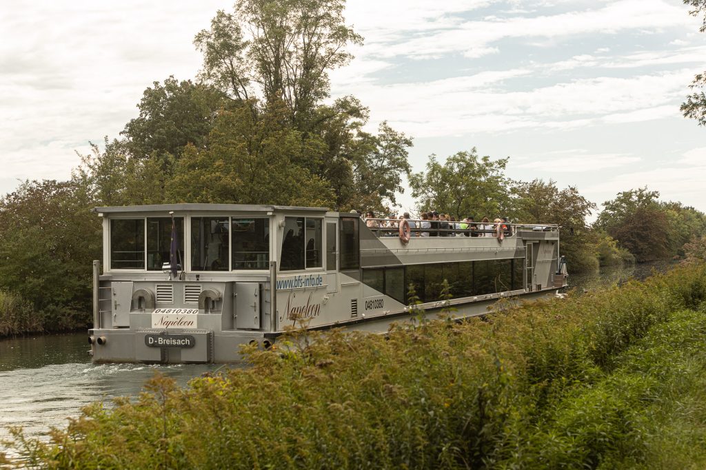
tourist boat on the Rhône–Rhine Canal
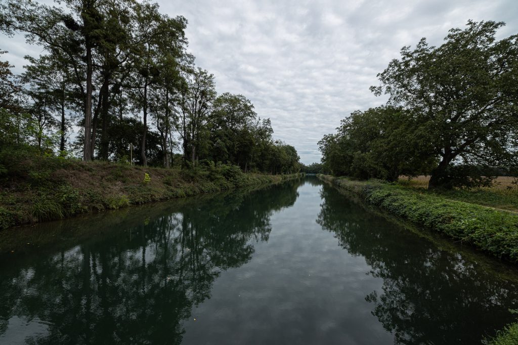
Rhône–Rhine Canal
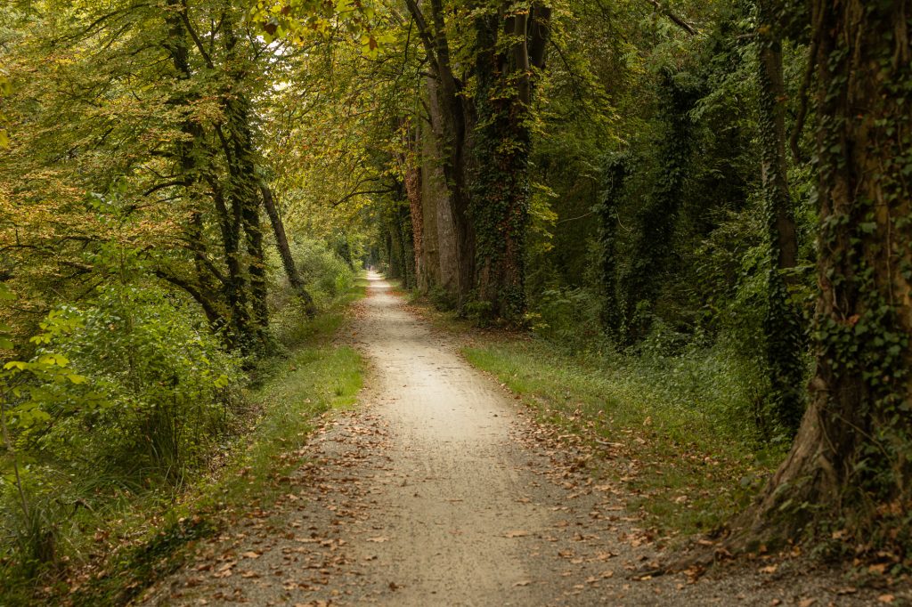
EuroVelo 15 near Marckolsheim
I sit on the border of Upper and Lower Alsace
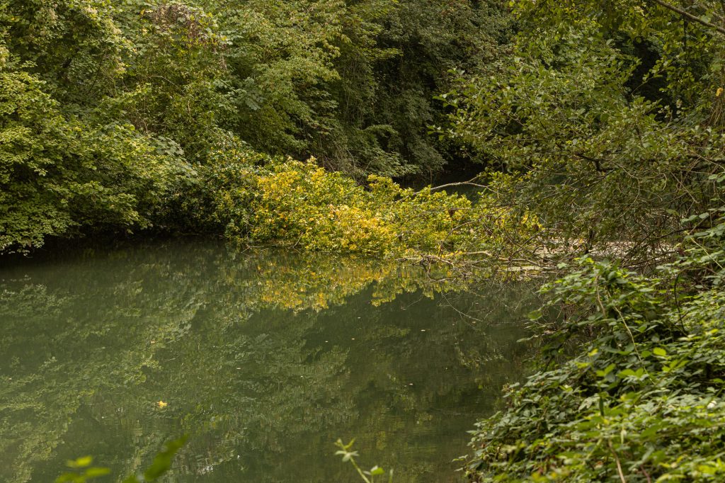
a tree in the water
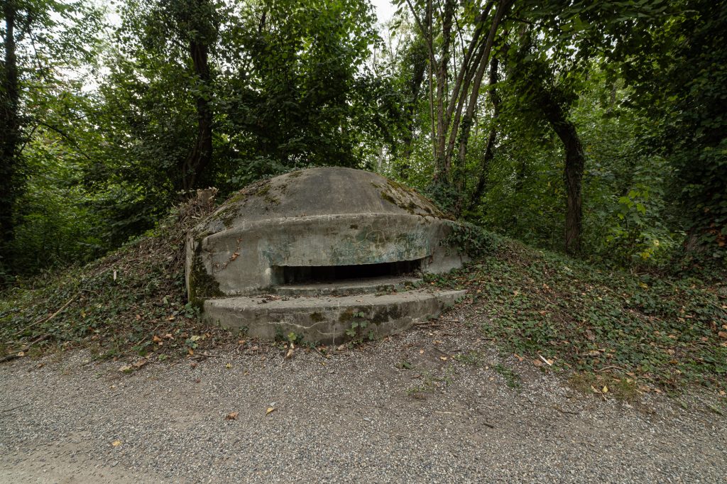
bunker on the Maginot Line
fall in Alsace
the Caboose on the Eurovelo 15 near Marckolsheim
The Longest Way near Marckolsheim
I sit on the EuroVelo 15 near Marckolsheim.
Pierre’s farm